










Full Scope
Ocean Data.

Delivered faster, more flexibly and more efficiently

XOCEAN delivers full scope ocean data to support critical offshore decisions. Using a more efficient operating model, XOCEAN provides a faster, more flexible and lower risk alternative to traditional survey approaches, combining uncrewed systems, remote operations and integrated partners to deliver high quality data at scale.

Supporting Critical
Offshore Decisions

Every offshore project begins with data. Whether selecting a site, designing infrastructure, managing construction or monitoring assets, accurate ocean data is essential to reducing uncertainty and making confident decisions. XOCEAN provides the geophysical, geotechnical and environmental data that underpins every stage of the offshore lifecycle.

Live survey data
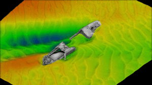
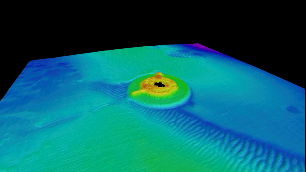
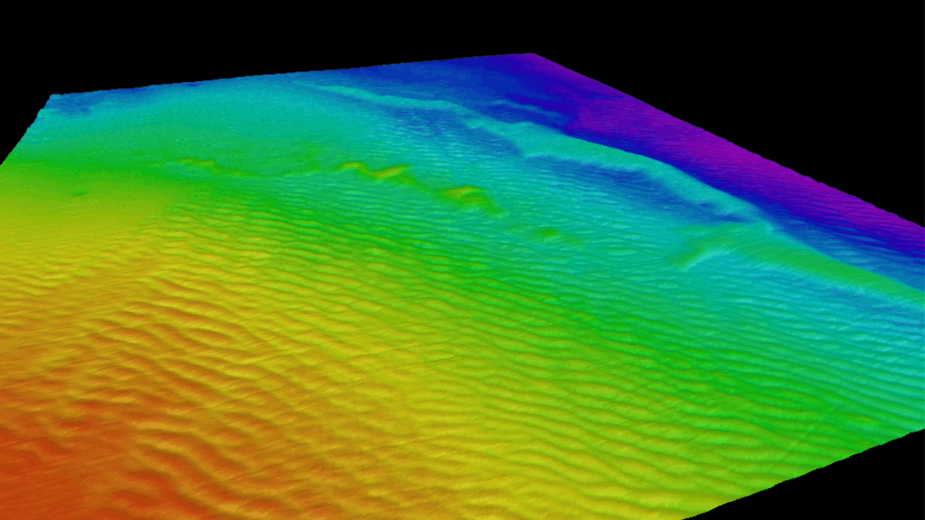
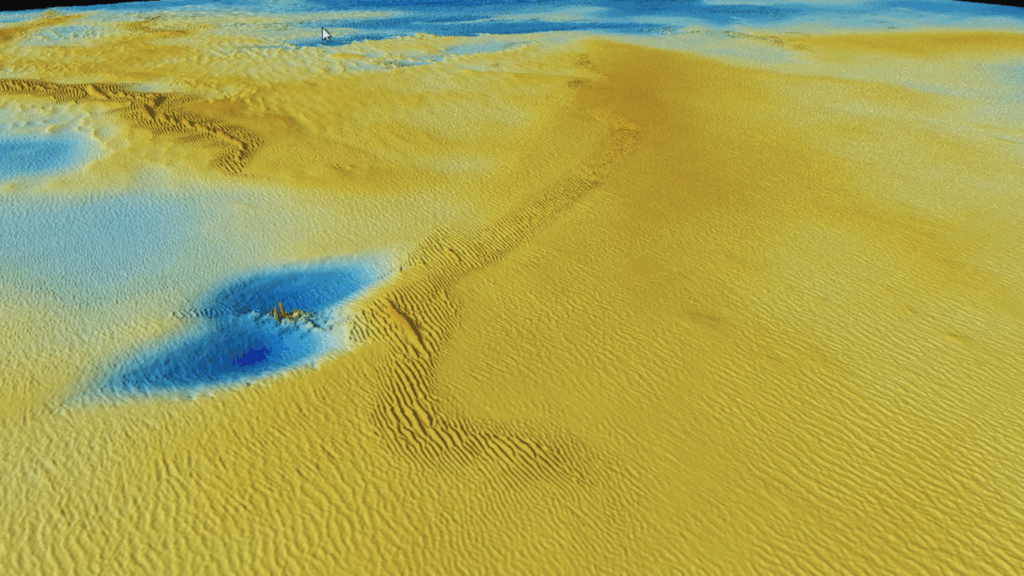
Multibeam bathymetry01 / 03

Geophysical

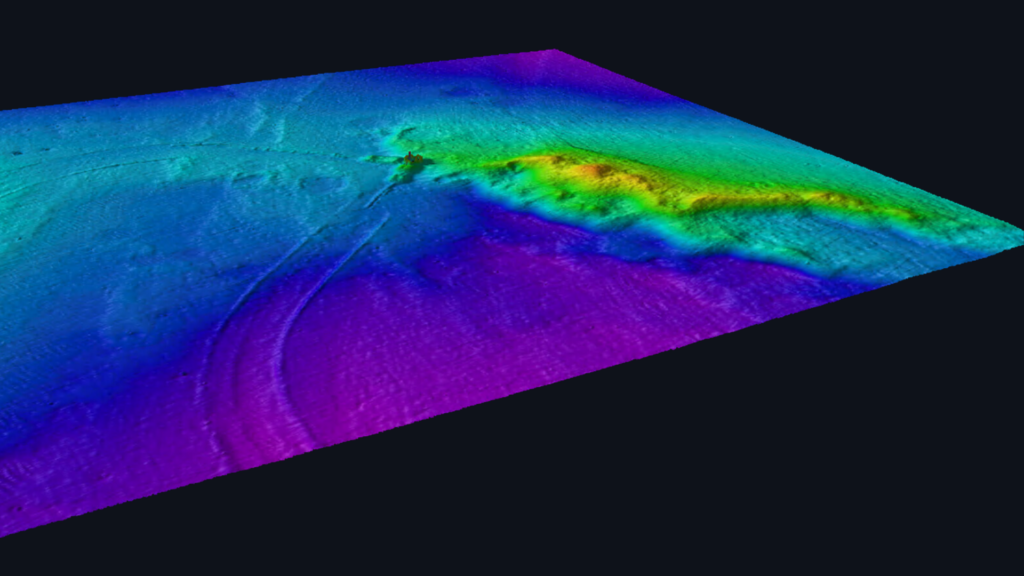
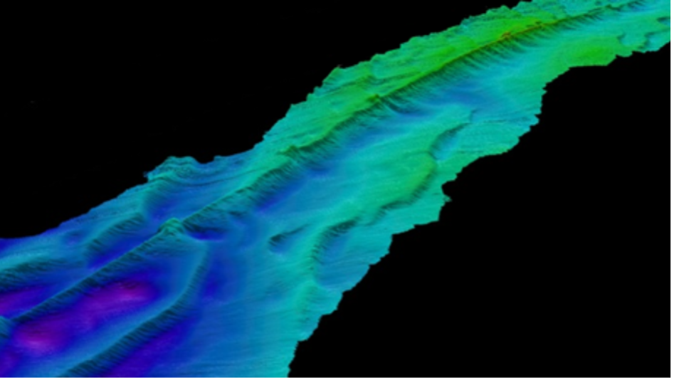
Survey-grade mapping of the seabed, including bathymetry, imagery and buried targets.

MBES · SSS · MAG · SBP

Geotechnical

Survey-grade investigation of seabed and sub-seabed conditions, including soil properties, stratigraphy and ground conditions.

VIBROCORE · CPT · BOREHOLES · ONSHORE 

Environmental

Survey-grade assessment of the marine environment, including seabed habitats, water quality and environmental conditions.

DROP DOWN CAMERA · SAMPLING ·  eDNA

Supporting Critical
Offshore Decisions

Every offshore project begins with data. Whether selecting a site, designing infrastructure, managing construction or monitoring assets, accurate ocean data is essential to reducing uncertainty and making confident decisions. XOCEAN provides the geophysical, geotechnical and environmental data that underpins every stage of the offshore lifecycle.

Live survey data
Multibeam bathymetry01 / 03

Geophysical

Survey-grade mapping of every metre of seabed including bathymetry, imagery and buried targets.

MBES · SSS · MAG · SBP

Geotechnical

Characterising the ground beneath the seabed including soil strata, stratigraphy and integrated ground models.

VIBROCORE · CPT · BOREHOLES · ONSHORE · INTERTIDAL

Environmental

Understanding the water column and the life within it including metocean, water quality and ecological baseline.

DROP DOWN CAMERA · SAMPLING · eDNA

Integrated
Project Delivery

No two offshore programmes are the same. XOCEAN tailors every project to the client’s objectives, timeline and operational requirements, bringing together the right combination of technology, remote operations and specialist expertise. Whether delivering a single survey or managing a complex multi-phase programme, we provide one coordinated team focused on delivering high-quality ocean data safely, efficiently and at scale.

Trusted
Worldwide

Leading energy companies, developers and government agencies trust XOCEAN to deliver critical ocean data for some of the world’s most complex offshore projects. Our experience spans international markets, supporting offshore wind, subsea infrastructure, hydrography and environmental programmes with a proven track record of safe, efficient delivery.

Our data services / Full-scope ocean data

Complete Ocean
Data Delivery

XOCEAN delivers full scope ocean data to support critical offshore decisions. Using a more efficient operating model, XOCEAN provides a faster, more flexible and lower risk alternative to traditional survey approaches — combining uncrewed systems, remote operations and integrated partners to deliver high quality data at scale.

Live survey data
Multibeam bathymetry01 / 03
01 Seabed

Geophysical

Survey-grade mapping of every metre of seabed — bathymetry, imagery and buried targets.

MBES · SSS · MAG · SBP
02 Sub-bottom

Geotechnical

Characterising the ground beneath the seabed — soil strata, stratigraphy and integrated ground models.

VIBROCORE · CPT · BOREHOLES · ONSHORE · INTERTIDAL
03 Water column

Environmental

Understanding the water column and the life within it — metocean, water quality and ecological baseline.

DROP DOWN CAMERA · SAMPLING · eDNA

Complete Ocean
Data Delivery

XOCEAN delivers full scope ocean data to support critical offshore decisions. Using a more efficient operating model, XOCEAN provides a faster, more flexible and lower risk alternative to traditional survey approaches, combining uncrewed systems, remote operations and integrated partners to deliver high quality data at scale.

Geophysical

Survey-grade mapping of every metre of seabed — bathymetry, imagery and buried targets.

MBES · SSS · MAG · SBP

Geotechnical

Characterising the ground beneath the seabed — soil strata, stratigraphy and integrated ground models.

Vibrocore · CPT · Boreholes · Onshore · Intertidal

Environmental

Understanding the water column and the life within it — metocean, water quality and ecological baseline.

Drop Down Camera · Sampling · eDNA
Our data services / One platform · One mobilisation

Complete Ocean
Data Delivery

XOCEAN delivers the geophysical, geotechnical and environmental data required to support offshore decisions across the full project lifecycle — acquired together, from one uncrewed platform.

01 Seabed

Geophysical

Survey-grade mapping of every metre of seabed — bathymetry, imagery and buried targets.

MBES · SSS · MAG · SBP
02 Sub-bottom

Geotechnical

Characterising the ground beneath the seabed — soil strata, stratigraphy and integrated ground models.

SBP · STRATIGRAPHY · GROUND MODEL
03 Water column

Environmental

Understanding the water column and the life within it — metocean, water quality and ecological baseline.

ADCP · SVP · FISHERIES SBES

Flexible
Delivery Model

0
Tonnes of CO2 avoided
0
International markets supported
0 GW
New offshore wind supported
0 x
Gender diversity compared to industry
0
On the XOCEAN team

” We contracted XOCEAN for a route-survey campaign involving  geophysical, geotechnical and environmental data acquisition, both onshore and offshore, in water depths of up to 100m. XOCEAN provided us with a turnkey solution to deliver these scopes, ensuring a seamless transition between data acquisition and assessment across the different disciplines, which helped us achieve an accelerated project timeline.

Peter McGrath · Subsea Cables Project Manager · SSEN Distribution

5 USV's
Assigned
0-95m
survey depths
2 x 40km
survey corridor

Your Data Delivery Partner

Every offshore project is different. The challenge isn’t  collecting ocean data, it’s delivering the right data, at the right time, while keeping projects moving.

XOCEAN takes responsibility for the complete ocean data programme, managing delivery from planning through to final outputs. Our flexible operating model allows us to deploy the right combination of capabilities for each project, helping clients accelerate delivery, adapt to changing conditions and reduce programme risk.

Complete Ocean Data Delivery

XOCEAN delivers the core ocean data required to support offshore decisions across the full project lifecycle.

Delivering accurate, high-resolution geophysical data to support offshore site characterisation, engineering design and project delivery. 

Delivering accurate, high-resolution geophysical data to support offshore site characterisation, engineering design and project delivery. 

Delivering accurate, high-resolution geophysical data to support offshore site characterisation, engineering design and project delivery. 

Complete Ocean Data Delivery

XOCEAN delivers the core ocean data required to support offshore decisions across the full project lifecycle.

Geotechnical

Seabed and subsurface data to support site investigation, route engineering and offshore development.

Ground investigation data delivered as part of an integrated ocean data programme.

Environmental data to support consenting, compliance, monitoring and project decision-making.

Experience Across
Critical Offshore Sectors

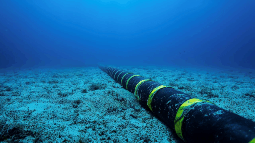
Subsea Cable Infrastructure

Seabed Characterisation

Geo-Hazard Assessment

Morphological Seabed Assessment
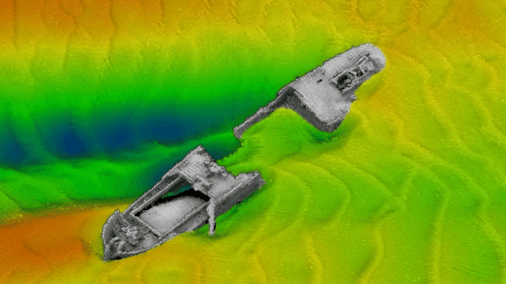
Civil Hydrography

Hydrographic Surveys

Safety of Navigation

Wreck Investigations
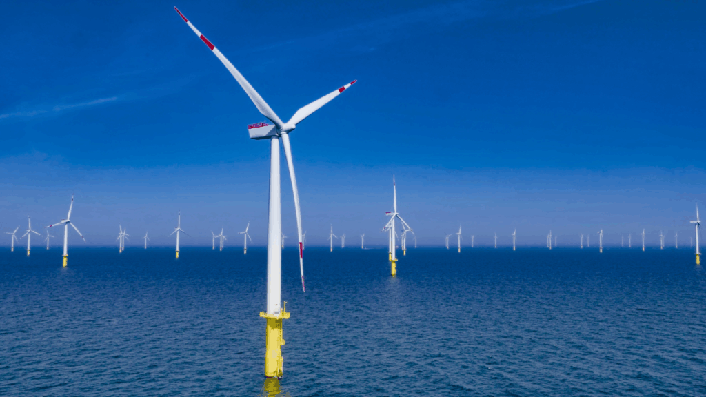
Offshore Wind

Seabed Characterisation

Geo – Hazard Assessment

Morphological Seabed Assessment
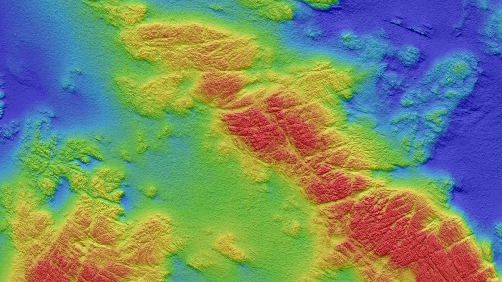
Seabed Characterisation

Geo-Hazard Assessment

Morphological Seabed Assessment

Oil & Gas

Asset integrity inspections

Decommissioning Debris Clearance Survey

Scour Condition Monitoring
Carbon Capture & Storage

Shallow Surface Geological

Integrity Assessments

Seabed Characterisation

Harnessing technology to deliver cost-effective data

Working with XOCEAN

Every project has different technical, commercial and operational requirements. Whether delivering a fully managed turnkey survey programme or providing immediate access to existing ocean data, XOCEAN offers flexible engagement models designed around your project objectives.

Direct

Data Library

Defining the gold standard
for ocean data delivery

At XOCEAN, we strive to set the gold standard for ocean data delivery by providing high quality data and analytics to businesses in the ocean economy.

Economic
Scalable
Low Impact
Reliable

Meet XOCEAN

Major energy and industrial corporations, as well as government agencies, are all seeking reliable, high-quality ocean data for various applications, from developing offshore wind farms to ensuring marine safety. Traditionally, mapping the ocean floor and collecting marine data requires a ship with a large crew working for extended periods at sea. When a customer needs data, it can be several months before a traditional supplier has availability and costs are uncontrolled. James Ives, XOCEAN CEO, recognized these challenges and envisioned a more efficient and safer method. Thus, XOCEAN was created in 2017 in Ireland. 

Serving Leading Industries Worldwide

Seabed Characterisation

Geo – Hazard Assessment

Morphological Seabed Assessment

Pre-Jack Up Debris Clearance Surveys

Scour Condition Monitoring

Export Cable Route Inspection

Seabed Characterisation

Shallow Surface Geological

Integrity Assessments

Hydrographic Surveys

Safety of Navigation

Wreck Investigation

Asset integrity inspections

Decommissioning Debris Clearance Survey

Scour Condition Monitoring

Environmental Monitoring Data Harvesting

Seabed Characterisation

Geo-Hazard Assessment

Morphological Seabed Assessment

Route Inspection

High quality data with multiple use cases

Delivering precise, reliable marine insights to support diverse projects, from infrastructure planning to environmental stewardship.


High quality data with multiple use cases

Multibeam Echosounder

Maps seabed in high resolution using advanced multibeam sonar swath technology.

Sub Bottom Profiler

Profiles sediment layers and detects buried objects beneath the seabed surface.

Side-Scan Sonar

Produces detailed images of seabed features and submerged object shapes accurately.

Magnetometer

Identifies magnetic anomalies to detect submerged metal objects or pipelines.

Shallow Geotechnical

Gathers near-surface soil data to guide marine construction and engineering.

2D UHRS

Provides ultra-high-resolution seismic imaging for detailed sub-seabed analysis.

Environmental Monitoring

Monitors turbidity, currents, and biological or chemical marine environment data.

Explore Our Data Services

Discover how our ocean insights support your project’s success.

Explore Our Industry Applications

High quality data with multiple use cases

XOCEAN News

Join our team

Our people are at the heart of how we deliver. From ocean data and offshore operations to engineering, technology and corporate teams, we bring together a wide range of expertise to solve complex challenges around the world.

Join our growing global team and help shape the future of ocean data

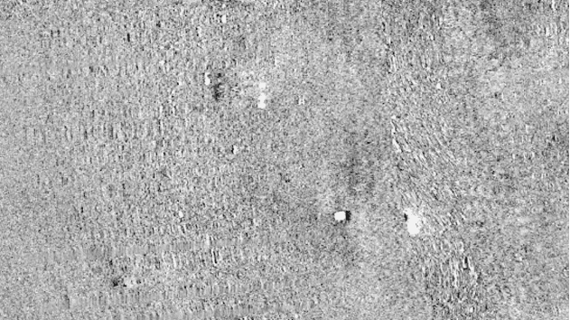
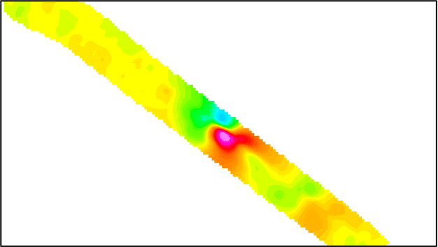
Example SSS & MAG Data

Client

Objective

Datasets

Project Statistics
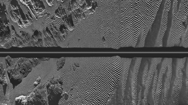
Example SSS Data
Example MAG Data